Space intelligence to map two African nations, Kenya and Tanzania
Space intelligence to map two African nations, Kenya and Tanzania to support integrity and transparency in the carbon markets
Space intelligence to map two African nations, Kenya and Tanzania to support integrity and transparency in the carbon markets.
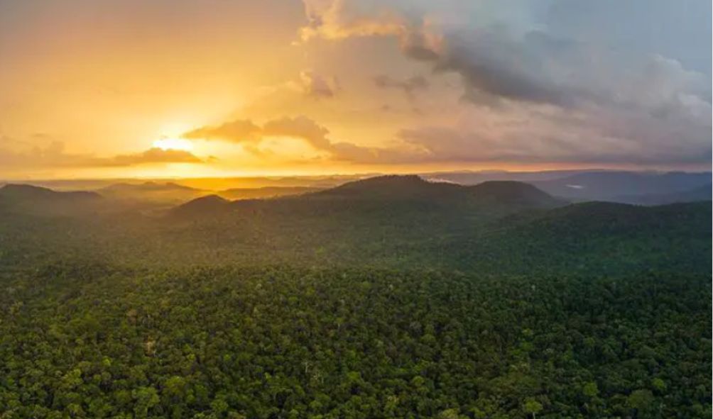
Nature data specialist Space Intelligence will map two African nations to support integrity and transparency in the carbon markets.
The maps for Kenya and Tanzania will help to provide a baseline for all Verified Carbon Standard (VCS) projects which aim to stop unplanned deforestation in the countries.
Furthermore, the standards agency, Verra, will approve the maps.
To ensure accuracy and validity, the maps will comprise two levels of data: a set of Forest Cover Benchmark Maps covering 2010-2020 and point-based Activity Data showing the precise location of deforestation.
Furthermore, Space Intelligence Chief Scientist and Space Intelligence co-founder Professor Ed Mitchard explained. “Using our AI technology, and the consolidated REDD methodology, we will be able to create maps of forest change for the entire country.”
Establishing and allocating deforestation baseline data for entire jurisdictions is one of the ways Verra aims to increase the integrity, transparency, and efficiency of the carbon markets.
Wanted ‘Mathe Wa Ngara’ arrested in an operation Nairobi CBD
Kenya and Indonesia signs FOUR deals as Ruto grants Ruto grants Indonesians free-Visa entry
Kalonzo ‘fails’ to attend bipartisan talks just a day after ‘advised’ to quit
KRA to use computer wizards to uncover tax fraud
Judiciary breaks silence over eviction of elderly in Lavington as DCI defends the arrest
Traditionally, the development of baseline deforestation estimates for a specific project was the responsibility of project developers, often requiring engaging consultants to create baselines.
On the other hand, this new approach takes those responsibilities and decisions out of the project developer’s hands, ensuring Verra oversees the baseline creation process.
Julianne Baroody, Senior Director, Forest Carbon Innovation, Verra, added, “The innovative approach to baseline setting is a key feature of the new consolidated REDD methodology, and we are glad to engage a number of highly-qualified data service providers, including Space Intelligence, for this purpose.
Having robust and reliable data about jurisdictional deforestation is essential to ensure that these methodologies continue to drive important climate finance to at-risk forests.”
Also read,
Russia and China seeking to drive their Agenda in Africa during BRICS Summit
Preferred Raila successor; Oburu Odinga
“COMPLETELY UNACCEPTABLE!” ECOWAS rejects Niger Junta THREE-year transition plan
UK announces workers shortage calling for mass application while promising VISA; qualifications
Follow us